

Our Drone Services
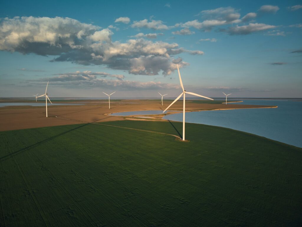
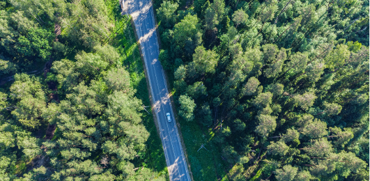
For the full spectrum of aerial surveys, we’re ready to take flight. From drone crop inspections to wind turbine aerial surveys, we’re your one-stop source for the best drone imaging services.

Why Choose Us

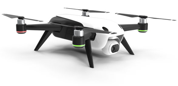

Cutting-edge drones for precision, efficiency, and advanced aerial data collection.

Certified pilots ensure safe, compliant drone inspections across various industries.

Drones capture detailed, high-quality images for accurate analysis and reporting.

Comprehensive drone services available nationwide, even in hard-to-reach locations.

Explore our enhanced cameras, longer flight times, and advanced navigation systems.

Conducting aerial crop surveys involves using specialized sensors, such as multispectral or thermal cameras, mounted on drones or aircraft.

Carrying out drone inspections of solar panels and wind turbines involves using drones equipped with thermal and visual sensors to detect defects

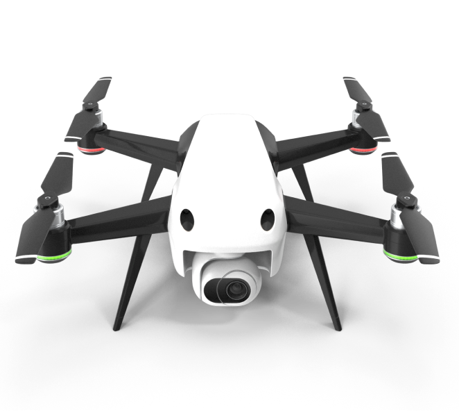

Performing drone surveys for telecom towers and infrastructure involves using drones equipped with high-resolution cameras.

Carrying out drone inspections of solar panels and wind turbines involves using drones equipped with thermal and visual sensors to detect defects.

When it comes to our capabilities at Aero Quest, the sky is the limit. From agriculture to telecom and everything in between, we proudly serve a myriad of industries.


Let’s take to the skies. For each of the services listed above and more, our dedicated pilots are here to help.
